


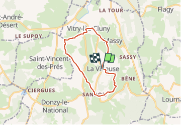

49 km | 57 km-effort


Benutzer


Kostenlosegpshiking-Anwendung
 SityTrail
IGN / Geografische Institute
SityTrail World
Die Welt öffnet sich für Sie
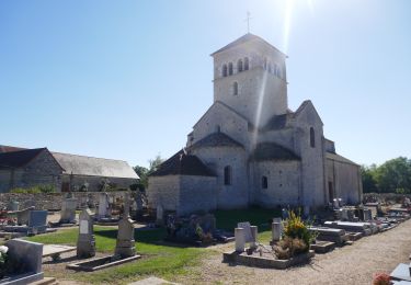
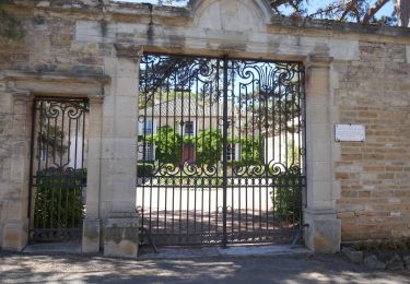
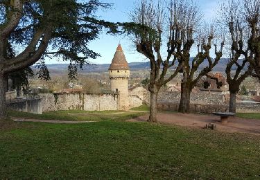
Tour Wandern von 11,3 km verfügbar auf Burgund und Freigrafschaft, Saône-et-Loire, La Vineuse sur Fregande. Diese Tour wird von Malice0093 vorgeschlagen.
Chemin partiellement obstrué par un arbre tombé après 1.6k avant passage du ruisseau sinon le reste OK
Elektrofahrrad
Elektrofahrrad
Wandern

Wandern

Wandern

Wandern
Wandern
Wandern
Wandern